
Forest Lake ZIP Code Coverage
Official sources verified one Forest Lake postal association in this research pass: 55025. The Minnesota Department of Public Safety's county-and-ZIP reference lists Forest Lake in Washington County with that ZIP, and USPS maintains a Forest Lake post-office location for it. The evidence does not support treating nearby postal labels as a second Forest Lake ZIP or claiming that every address with 55025 lies inside city limits. A ZIP code directory should preserve that limit rather than turn a postal label into a municipal boundary.
| ZIP | Officially verified coverage | Post office record | Search note |
|---|---|---|---|
| 55025 | Forest Lake, Washington County | Forest Lake Post Office | Verify each full address because ZIP delivery geography is not a city-limit map. |
| 55073 | Not verified as a Forest Lake service area in the official sources reviewed | Not located in this research pass | Use USPS address lookup before assigning it to Forest Lake. |
That caution matters when reading a public record. A city name can be a mailing convention, and a county parcel can also carry school-district, watershed, road, or township geography. Those layers can overlap without meaning the same thing.
Forest Lake ZIP Code Directory at USPS
The USPS Forest Lake Post Office record lists the location at 78 6th Avenue SW, Forest Lake, MN 55025-1574. During the research pass, USPS listed Monday through Friday hours of 8:30 a.m. to 5:00 p.m., Saturday hours of 9:00 a.m. to noon, and Sunday closure. It listed mailing services but no financial or passport services. Hours and services can change, so the current USPS page is the authority before making a visit.
The USPS page is a service-location record, not a directory of delivery addresses or people. Its value for a Forest Lake ZIP code directory is address normalization and ZIP+4 confirmation. Use a complete address when the goal is to check how USPS formats a mailing location. Then move to the county parcel systems when the question concerns a specific piece of land.
The official USPS location record provides the postal-service detail used here.
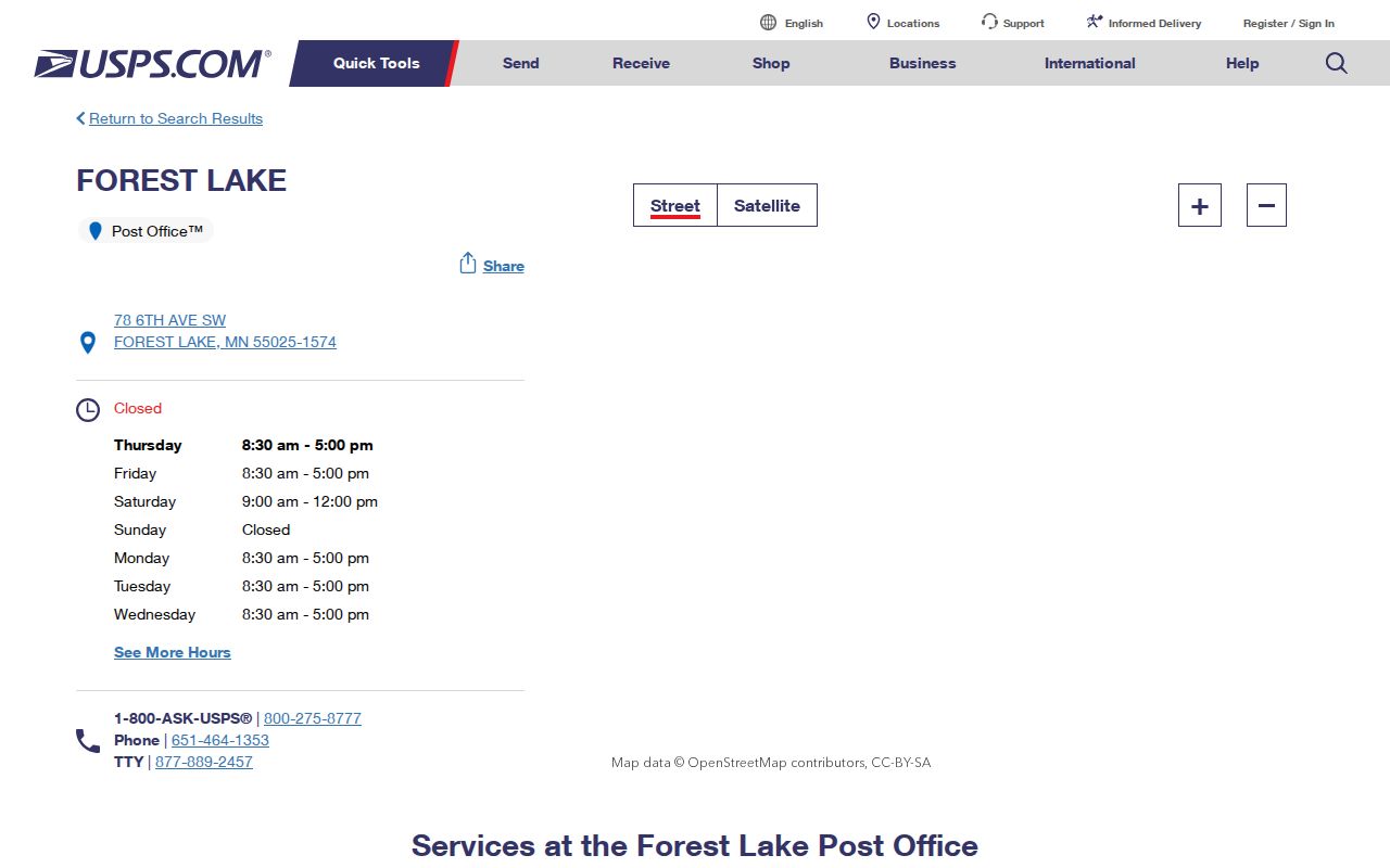
The screen supports the post-office facts and ZIP-facing service context, but it does not show a ZIP-wide address list. Keep those purposes separate when checking a Forest Lake mailing address.
Forest Lake ZIP Map Layers
Once USPS has normalized a full address, Washington County's property map can test the parcel geography. The county's Maps page describes its property-map tools and the source layers supplied by Assessor, Land Records, Recorder, and Surveyor offices. The direct viewer accepts a property ID, address, or owner, then makes Details and export controls available after a parcel is selected. It can show parcels, roads, address layers, school districts, and watershed districts.
Those distinct layers explain why a ZIP code is only one part of a Forest Lake address question. A parcel may be associated with a postal city while falling in a different municipal, school, or watershed context. Use the label supplied by the map rather than inferring a boundary from a ZIP. County GIS also provides an address-to-PIN path, which is more useful than a broad postal query when a particular record needs confirmation.
Washington County's ArcGIS mapping environment is the statewide and county mapping gateway captured for this page.
Use map layers to understand official geographies around an address. The displayed layers do not create a resident roster or settle a person's current address.
Note: A parcel, road, school district, watershed, city line, and ZIP may each be valid labels for the same place while serving different public purposes.
Forest Lake ZIP Address Checks
Washington County's property systems accept address and parcel details, but they do not publish a ZIP-wide resident export. The county GIS viewer searches by property ID, address, or owner. CTAS accepts fields such as city, street number, street name, owner, parcel number, legal description, property class, taxing district, subdivision, and sale-date or price limits. The County Tax Search accepts a PIN or property address. Each system answers a parcel or tax question, not a question about everyone within a postal code.
The Tax Search has one especially helpful Forest Lake addressing instruction: enter the house number and street name without a suffix, then select the PIN result. This is an insider tip that can fix a failed search caused by formatting. The PIN is the county parcel identifier. It is not a street number, and it should be carried into the next county system if an address spelling differs.
Washington County's Tax Search is the county source for that house-number and street-name format. For a complete address-to-parcel workflow, use the postal check first, then county GIS, CTAS, and tax data in the order required by the question.
Finding Residents in a Forest Lake ZIP
A ZIP can help organize a lawful, address-specific search, but it is not a way to browse residents. MNVotes offers a ZIP mode for an individual's own registration confirmation. It requires first name, last name, birthday, ZIP code, county, city or township, house number, and street. Washington County GIS and tax tools then let a researcher compare a known address with a parcel and PIN. The county systems do not have a ZIP-only resident search, and the state voter tool is not a postal roster.
- Confirm the complete mailing address and ZIP or ZIP+4 through USPS before copying it into a county search.
- Search the address or known PIN in the county GIS viewer and note the parcel, road, city, school-district, and watershed labels.
- Use CTAS or Tax Search for the parcel-specific field needed, keeping owner, mailing, and situs fields distinct.
- Use MNVotes only for its individual registration-confirmation purpose, or follow the separate statutory request process when it applies.
When a postal area has been narrowed to a particular named road, the Forest Lake by-street record path explains the county address and PIN workflow in more detail. It remains important not to convert a set of parcel records into a list of households.
Forest Lake ZIP Registration Fields
MNVotes is the one official tool in the research with a ZIP-specific address mode. It includes checks for missing or invalid house numbers and a unit checkbox that makes the unit field required. The form says its data are updated nightly. Those inputs show why the tool is designed for a particular voter and address, not for a ZIP code directory of Forest Lake residents.
| Field or control | How it works in ZIP mode |
|---|---|
| First and last name | Required and must match the registration context. |
| Birthday | Required for the individual confirmation; do not publish it. |
| ZIP code and county | Start the address path, then select Washington County for a Forest Lake query. |
| City or township, house number, street | Required address fields after the ZIP selection; house number accepts numbers only. |
| Apartment or unit | Optional checkbox, but the unit becomes required if selected. |
| Find your registration | Returns confirmation or next-step guidance for the individual search. |
The separate registered-voter-list form has geographic choices and a street-sorted format, but it is restricted by Minnesota Statutes section 201.091 to eligible registered voters and stated statutory uses. It cannot be republished as a searchable web list. Public data should stay with its official access rules.
Forest Lake ZIP Boundary Myth
55025 is a postal label, not proof that every address using it is inside Forest Lake city limits. That is the key boundary myth for local record work. The official sources reviewed confirm Forest Lake, Washington County, and 55025, but they do not establish all adjoining communities using the label or confirm a Forest Lake relationship for 55073. A complete USPS check is the appropriate answer for an individual address, not an assumption based on a third-party address site.
Forest Lake's own zoning resources add another useful layer. The city provides NE, NW, SE, and SW zoning-map sheets and directs address and PIN questions to the county property viewer. The quadrants are map-sheet references. They are not ZIPs, neighborhoods, or a substitute for USPS delivery geography. The city and Forest Lake Township combined in 2001, which also makes older township references worth preserving rather than silently converting to a current city label.
The City of Forest Lake's zoning maps and planning resources provide the local map-sheet context.
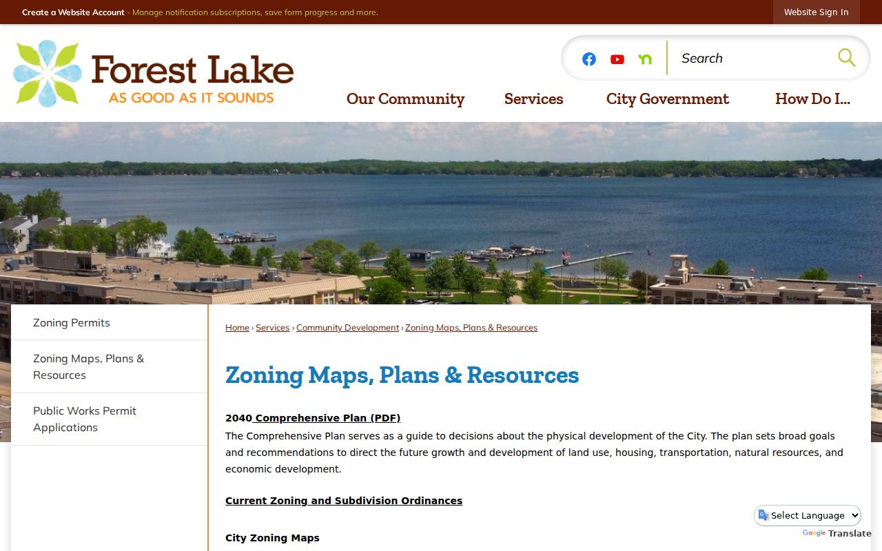
The zoning maps help orient a parcel within city planning geography. Pair them with USPS and county GIS when the question is postal delivery or parcel location.
Forest Lake ZIP Limits and City Lines
Several related terms deserve plain meanings. A ZIP code sorts mail to a postal delivery area. ZIP+4 adds a more specific delivery segment to the basic ZIP. A PO-box ZIP serves post-office boxes rather than proving a physical-address boundary. A unique ZIP is assigned for a particular organization or volume of mail. A carrier route is the delivery path used by the postal service. None of those labels identifies a municipal boundary, a parcel owner, or a current resident.
- Postal city
- The city name USPS accepts for delivery. It can differ from a municipal jurisdiction or historical township reference.
- Situs address
- The physical parcel location used for county record context. Washington County warns it can be informational and may not be a valid mailing address.
- PIN
- The county parcel identification number used to connect mapping, assessment, tax, and land-record systems.
- Map quadrant
- A named sheet area on Forest Lake zoning maps, not a ZIP code or a guaranteed neighborhood boundary.
If a public agency record is missing or unclear, ask its responsible authority for the existing map, export, record, or index under the Minnesota Government Data Practices Act. Ask for the date range and geography needed. Do not ask an office to create a new ZIP-by-ZIP list of residents, and do not use scattered records to expose protected addresses.