
Search Forest Lake Streets by Address
Use an address as a route to a parcel, not as a claim about every person connected to that place. Forest Lake parcels can be checked in the Washington County GIS viewer, then compared with CTAS assessment fields and the tax account. The resulting PIN, or parcel identification number, is the durable link between a current street string and a land record. A deed, permit, or voting record answers a different question. Keeping those roles separate makes a Forest Lake street directory more accurate and less likely to confuse a mailing contact with a resident.
- Normalize the house number, street name, city, state, ZIP, and unit. For the county Tax Search, enter the house number and street name without a suffix, then select the PIN result.
- Open the county GIS viewer by address, owner, or property ID. Save the PIN, legal description, current situs display, map date, and relevant road or parcel context.
- Compare the same parcel in CTAS using the PIN or street fields. Note which field is owner, mailing address, situs address, classification, or tax-year information.
- Use the legal description and names in RecordEASE to inspect recorded instruments. Check whether the parcel follows an abstract path or a Torrens Certificate of Title path.
- For a historical household question, ask a repository about a dated telephone book or reverse directory, then corroborate it with a second historical source.
Each stop leaves a useful paper trail. It also leaves limits: an owner field, an instrument party, and a historic directory listing are not interchangeable proof of current occupancy.
Forest Lake Street Map and PINs
The Washington County property map is the practical first stop after an address is normalized. It accepts a property ID, address, or owner search. Once a parcel is selected, its Details and export controls provide the county's parcel context. The map draws on Assessor, Land Records, Recorder, and Surveyor data, and its layers can show parcels, addresses, roads, county highways, school districts, and watershed districts. A street can therefore cross several official geographies even when its postal label stays the same.
Use the map for spatial context, then use the PIN to verify a record in the proper office. A map boundary does not establish title, and a selected parcel does not identify the full household. The city’s zoning map resources add NE, NW, SE, and SW map sheets for orientation before a county parcel search. Those sheets are map quadrants, not neighborhood or ZIP boundaries.
| CTAS search field | Use in a Forest Lake street search | Limit to keep in mind |
|---|---|---|
| Parcel Number or CAMA Account Number | Returns the identified county parcel or assessment account. | Confirm the number belongs to the intended property. |
| Street Number, Street Name, and City | Finds an address-shaped parcel entry. | Street formatting and city wording can affect a match. |
| Property Owner | Finds owner-associated parcel records. | An owner name is not proof of who occupies the location. |
| Legal Description, Section, Township, Range | Bridges an older instrument or plat to the parcel. | These fields describe land, not a current household. |
| Tax Year, Property Class, subdivision, dates, and price fields | Refines an assessment or sales question. | The portal does not promise one uniform historical result set. |
CTAS also exposes taxing-district and subdivision fields, along with beginning and ending date and low and high price filters. Use those only when they answer a defined parcel question. The assessor determines value and classification, while the Recorder maintains the recorded land history.
Note: Record the source date and field label because a later assessment update can change a portal result without changing the underlying street location.
Forest Lake Street Directory Tax Search Tip
The county Tax Search has a small but important Forest Lake street-search rule: enter the house number and street name without the street suffix, then choose the PIN. A failed search can be a formatting problem rather than evidence that there is no parcel. The system is for tax-account context, not for viewing a recorded deed. It can be paired with CTAS and GIS after the PIN is confirmed.
The official tax-search screen makes the county’s address-or-PIN route visible before a researcher enters a real property question.
Washington County Tax Search uses the county’s PIN or normalized street-address path.
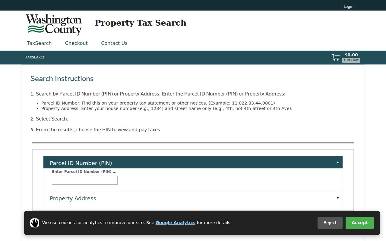
After choosing the PIN, compare the result with the GIS parcel rather than relying on the typed street string alone. This is especially helpful when an older source and a current standardized address use different wording.
Forest Lake Address Types Matter
Washington County’s tax-data request form makes an important distinction for any by-address research: a primary situs address is informational and search-only, may not be a valid mailing address, and may not exist for every PIN. Preserve the label shown by the record. A tax correspondence address can belong to an owner or entity elsewhere. A city service address identifies an office. A historical directory address is dated. None should be silently recast as a present residence.
- Parcel
- A county-defined unit of land, usually linked to a PIN and legal description.
- Situs address
- The physical location used to identify a parcel for assessment; Washington County warns it is informational and may not be a mailing address.
- Plat
- A recorded map that lays out lots, blocks, streets, or easements in a subdivision.
- Criss-cross directory
- An address-ordered directory section that can provide a dated occupant or telephone lead when a volume exists.
A service, agent, or mailing address can still help route a records request. It just should retain its source label and date. That discipline keeps a Forest Lake street directory focused on records, not assumptions.
Forest Lake Street Records by Address
Address-keyed records in Forest Lake form a chain only when their scope is clear. The county property systems identify a parcel and recorded land interests. City permits and notices describe a project or proceeding. The state voter tools have their own legal purpose and privacy boundaries. A historical reverse directory, if located, is a dated lead rather than a current roll. The table separates the record sets so a street search does not overstate what a single result can show.
| Address-keyed source | Custodian | What it can show | Access route |
|---|---|---|---|
| Assessor, tax, and parcel data | Washington County Assessor and Taxpayer Services | PIN, owner, mailing and situs fields, classification, values, sales, and legal description. | CTAS, Tax Search, or a county data request. |
| GIS parcel viewer | Washington County GIS and source departments | Parcel shape, road and address context, and selected map layers. | County map by property ID, address, or owner. |
| Recorded instruments | Washington County Recorder | Deeds, mortgages, liens, plats, Torrens certificates, and tract materials. | RecordEASE and the public research room. |
| Building and zoning records | Forest Lake Building Inspections and Community Development | Project address or PIN, named parties, work class, valuation, and review trail. | Permit form, BSA route, staff contact, or public-record request. |
| Public notices | City of Forest Lake | Hearing, project address, legal description, and meeting date. | City public-notice page; confirm final action separately. |
| Voter record route | Minnesota Secretary of State and Washington County Elections | Individual registration confirmation or a legally restricted list output. | MNVotes for the person’s own confirmation; statutory request form for eligible uses. |
The PIN and legal description are the strongest connections between the property systems and the recorder trail. For a past address-to-occupant question, the historical collection route is covered in more detail in the Forest Lake city directories; it should not be treated as a substitute for current parcel information.
Forest Lake Street Deed Paths
The Washington County Recorder maintains permanent real-estate records and recognizes both abstract and Torrens land systems. Torrens property is represented by a Certificate of Title and may require a certificate or tract-card path instead of a conventional document search alone. That local fork is a useful check before assuming that every Forest Lake street parcel has the same deed trail.
RecordEASE indexes records from 1984 forward and supports grantor, grantee, legal-description, and date-based paths after access. The county describes images, plats, tract cards, tax liens, and interactive Torrens material, but access and fees vary. Older instrument questions can go to the Recorder’s public research room on the first floor of the Government Center, 14949 62nd Street N in Stillwater, open Monday through Friday from 8:00 a.m. to 4:15 p.m.
A recorded transfer proves that an instrument was recorded. It does not establish the buyer’s move-in date or the seller’s next address. RecordEASE’s subscription agreement also prohibits scraping, extraction, and bulk parcel downloads, so a careful street search remains parcel-by-parcel and tied to a lawful purpose.
Forest Lake Street Permit Trail
City records can add a project history after the parcel is identified. Forest Lake’s Community Development work includes fences and signs, conditional and interim permits, certificates of compliance, variances, code enforcement, and development matters. The zoning program describes such address-related categories as lot splits, domesticated chickens, accessory apartments, wood boilers, shoreland tree removal, and temporary dwellings. A record in one of these categories identifies a review or application, not a statement about who lives there.
Forest Lake’s building application requests a project address or PIN, project description, size, value, owner and contractor fields, work class, and signature. Separate trade permits may also be required. Questions about an actual permit belong with Building Inspections, which is reachable at 651-464-4349. The city zoning permits page explains the program and its staff-consultation route.
Forest Lake Community Development is the source for the city’s address-related planning and permit functions.
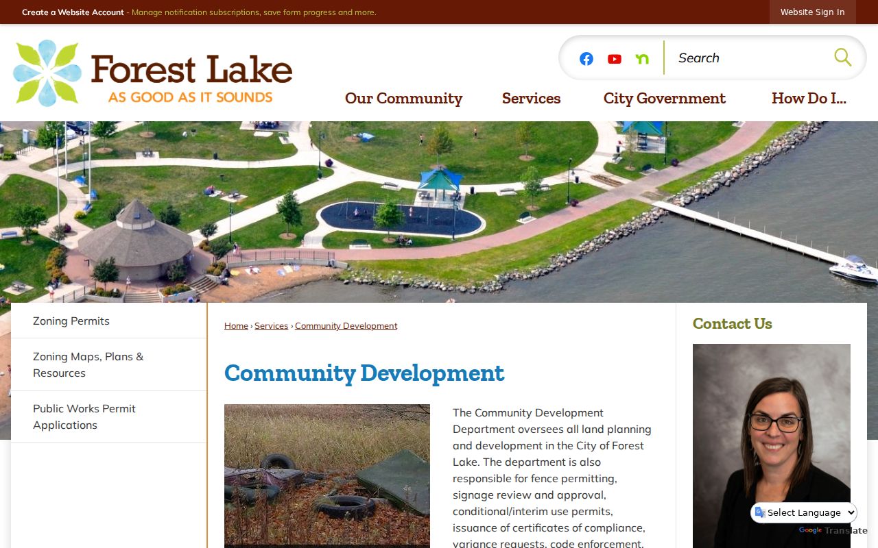
Pair a city permit or notice with its date, PIN, and final decision status. A permit date can document work or review, but it is not a deed date or a complete ownership history.
Note: Public notices can identify a proposed variance or interim use, so verify the final city action before relying on the notice.
Forest Lake Street Layers and Notices
A Forest Lake street can sit within several valid boundaries at once. County GIS layers include parcels, roads, school districts, and watershed districts. Postal geography has a different purpose, and the city’s zoning maps have their own quadrants. Compare the layer that fits the question instead of assuming that one street, ZIP, city, school district, and watershed are identical places. The county map is the better source for parcel-level geography; the city map supplies the municipal planning view.
The city’s public notices can surface a variance, interim-use matter, or plan amendment by project address. A notice may list an applicant, parcel, hearing date, or legal description. It does not necessarily record the final decision. Preserve the notice date and obtain the agenda, minutes, or final action when the outcome matters.
Forest Lake zoning permits show the kinds of land-use records that may connect a project to an address.
The city material helps identify the appropriate record custodian. It should not be used to turn a project address into a profile of private household members.
Forest Lake Street Names Across Time
Historical address research needs a jurisdiction check as well as a street check. The Forest Lake area began as part of Marine Township, was platted as a village in 1868, organized in 1893, became a statutory city in 1974, and combined with the township in 2001. Earlier records may therefore say Forest Lake Township, village, city, or Washington County without proving that the household moved. Railroad-era and lake-community records can also describe a place by township, route, lake, school, church, or cemetery instead of a modern street number.
No authoritative Forest Lake street-renaming or renumbering chronology was located. When a historical address does not align with a current map, retain the original wording and compare plats, assessor rolls, deeds, township material, and the legal description. The Washington County Historical Society and Minnesota Historical Society finding aids are better leads for that bridge than an unsupported address conversion.
Limits of a Forest Lake Street Directory
Public parcel records are not a directory of everyone on a street. Renters, household members, utility customers, delivery recipients, and protected residents do not reliably appear in an owner or tax trail. A voter registration result is not a public browsing tool. MNVotes requires first name, last name, birthday, and address for a person’s registration confirmation, while a street-sorted walking list has eligibility and use restrictions under Minnesota Statutes section 201.091. It must not be republished as a searchable web list.
The Minnesota voter lookup is for an individual confirmation workflow and updates nightly. For a legally allowed voter-list request, use the Secretary of State’s official form and its stated restrictions. Safe at Home participants use a designated address while their real address remains protected. Court, vital, and protected voter data have their own exclusions as well.
Lawful use. Forest Lake street records can support personal, lawful property or family-history research. Do not use combined address records to stalk, harass, intimidate, or harm anyone; Minnesota Statutes section 609.749 sets the state’s harassment and stalking boundary.
A record’s source, role, and date matter more than a broad claim about a street. When the objective shifts to identifying or verifying one person, use the official record type and its privacy rules rather than building a household list.