
Forest Lake Neighbors in Public Records
The useful public-record question is usually spatial: which parcels share a boundary, which official map layers apply, or what recorded instrument belongs to a known lot. Washington County's GIS map provides parcels, roads, addresses, school districts, watershed districts, and other map context. CTAS and Tax Search provide different property fields. The recorder holds the recorded land trail. Each source names a role or record, not a complete list of people at a block address.
Forest Lake has no confirmed public HOA or block-watch umbrella directory. The public community contacts documented in the research should be treated as civic routes, not household rosters. The voter-list route has its own strict statutory restrictions, and the individual MNVotes confirmation tool is for a person's own registration workflow rather than block browsing.
| Source | Block information it can show | Access and boundary |
|---|---|---|
| Washington County GIS map | Parcel shapes, roads, address context, school districts, watershed districts, and selected parcel details | Search by property ID, address, or owner; a map relationship does not prove occupancy. |
| Survey parcel-radius form | Requested surrounding PINs, owners, physical addresses, and optional labels within a defined radius | Official request path with county fee and accuracy notice; do not republish a raw owner list. |
| CTAS and county tax search | Owner, PIN, situs, mailing-address, classification, value, and tax context | Parcel-by-parcel access; address type must be labeled. |
| RecordEASE | Recorded transfers, liens, plats, and related legal-description paths | Login and fees can apply; county terms prohibit bulk extraction. |
| Forest Lake civic sources | Public organization contacts, notices, and meeting records | Public contacts are not evidence of membership or residence. |
Start with the map when the goal is to understand the lot pattern. Move to the county request form when a bounded official output is needed. Keep the result tied to the PIN, date, custodian, and stated purpose.
Forest Lake Parcel Map Layers
Washington County's direct property map searches by property ID, address, or owner. After selecting a result, the Details panel and export control can reveal available parcel context. The county says its GIS data draws from Assessor, Land Records, Recorder, and Surveyor sources. That combination makes the viewer a strong starting point for the shape of a block, but it remains a map tool rather than proof of title or a resident directory.
Several official geographies can apply to the same Forest Lake parcel. Parcel lines, road names, address points, school districts, and watershed districts may each answer a different question. That is especially useful near the lakes, where water and shoreland context can matter as much as the postal address. A map layer should be read as the layer it is, rather than as a shortcut to a social relationship.
Use the city zoning-map sheets for visual orientation, then confirm a specific parcel in the county property viewer. A selected result should not be republished with a person's address merely because it is visible in a public map.
Forest Lake Neighbors Through a Radius Request
The Survey Division parcel-radius form is the county's reproducible route for an adjacent-parcel question. It asks for a radius in feet around one or more PINs and can request surrounding parcel information, owner information, physical addresses, and labels. Rather than estimating from a screen, it identifies the scope, subject PIN, desired output, and delivery method in the request itself.
The first 25 parcels, including the subject parcel, cost $50 under the research notes. Additional parcels cost $0.50 each, while non-radius work is billed at $93 per hour; labels, postage, and related output can add to the cost. Washington County warns that compilations from Survey maps and Assessor records can contain inaccuracies. That makes the request useful for a bounded record question, not a reason to create a block-level person list.
Practical limit. Ask for the smallest radius that answers the parcel question, state the PIN and date, and keep the county's source and accuracy notice with the response.
Map a Forest Lake Block Parcel by Parcel
A block map is most reliable when each step stays anchored to the subject parcel. The county GIS viewer shows shapes that share a boundary or sit nearby. It does not decide who has a social connection, who occupies a home, or whether a person has moved. The owner field, mailing contact, and physical situs are separate facts that need their own labels.
- Search the county property map by the known address or PIN and confirm the subject parcel before opening its Details panel.
- Inspect adjacent parcel shapes, road names, and relevant map layers, recording the parcel identifier rather than compiling household names.
- Use CTAS or Tax Search for a parcel-specific owner, situs, mailing, classification, or tax question, while keeping each address type distinct.
- For a recorded transfer or plat question, search RecordEASE by the legal description or applicable grantor-grantee path.
- For a whole named-street records chain, use the Forest Lake by-street directory rather than extending a one-block review beyond its purpose.
This process keeps public geography in view without turning the result into a list of private households.
Forest Lake Neighbors and Situs Warnings
Washington County's tax-data request form warns that a primary situs is informational and search-only. It may not be a valid mailing address and may be absent for some PINs. A situs is the physical parcel location. A mailing address is where correspondence goes. Neither establishes that a named owner lives at the parcel, and a registered-agent or service address can belong to an organization rather than a home.
Keep historical addresses separate as well. An address in a deed, directory, census, or obituary is tied to that record's date and purpose. No authoritative Forest Lake street-renumbering or renaming chronology was found in the research. When an old address is in doubt, compare the original wording with plats, roads, township records, and the legal description instead of forcing it onto a current map point.
- Situs address
- The physical location assigned to a parcel for property context. The county says it is not necessarily a mailing address.
- Mailing address
- The contact address used for tax correspondence. It can be outside Forest Lake and does not prove occupancy.
- PIN
- The county property identifier used to connect the GIS, assessment, tax, survey, and recorder paths for one parcel.
- Legal description
- The land description used in recorded documents, often more stable than a historical street address.
Forest Lake Neighbors in Civic Groups
Community contacts can be a better way to participate in Forest Lake than trying to infer membership from a parcel map. The Forest Lake Lake Association is a nonprofit founded in 2007 to promote, protect, improve, and conserve Forest Lake. It works with the City, DNR, and watershed districts, and membership is open to anyone. Its public purpose is lake stewardship, not a member-address directory.
The research did not locate a public citywide HOA, neighborhood-association, block-watch, congregation, or fraternal membership roster. The Chamber carries an organization listing, while city commissions and councils publish public meeting names rather than a neighborhood household list. Those differences should remain visible when choosing a contact path.
| Forest Lake community resource | Public role | Contact route |
|---|---|---|
| Forest Lake Lake Association | Lake stewardship and public membership opportunity; no public member directory found | P.O. Box 61, Forest Lake, MN 55025; ourforestlake@gmail.com |
| Forest Lake Area Chamber directory | Organization listing for the association, not a residential roster | Chamber contact: 651-464-3200 |
| Forest Lake Area Historical Society | Historical collections and community-memory sources | Use the WCHS research-links route and verify current access terms. |
| City commissions and councils | Official agendas, notices, and public meeting names | City directory, meetings, and notices, not a private group list. |
The Forest Lake Lake Association public page is represented in this image.
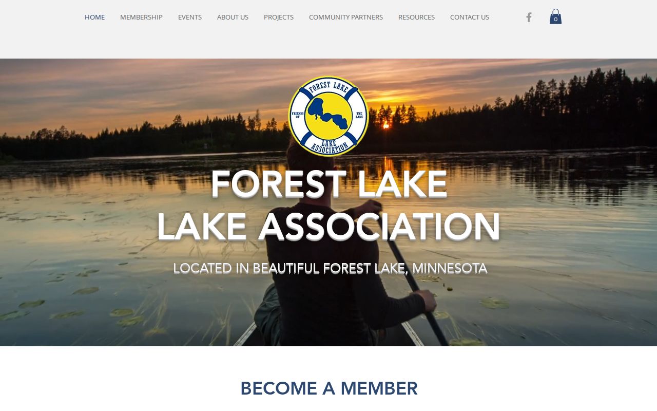
The association's public mission supports a civic contact route without suggesting that parcel owners are members.
The Forest Lake Area Chamber association listing is shown below.
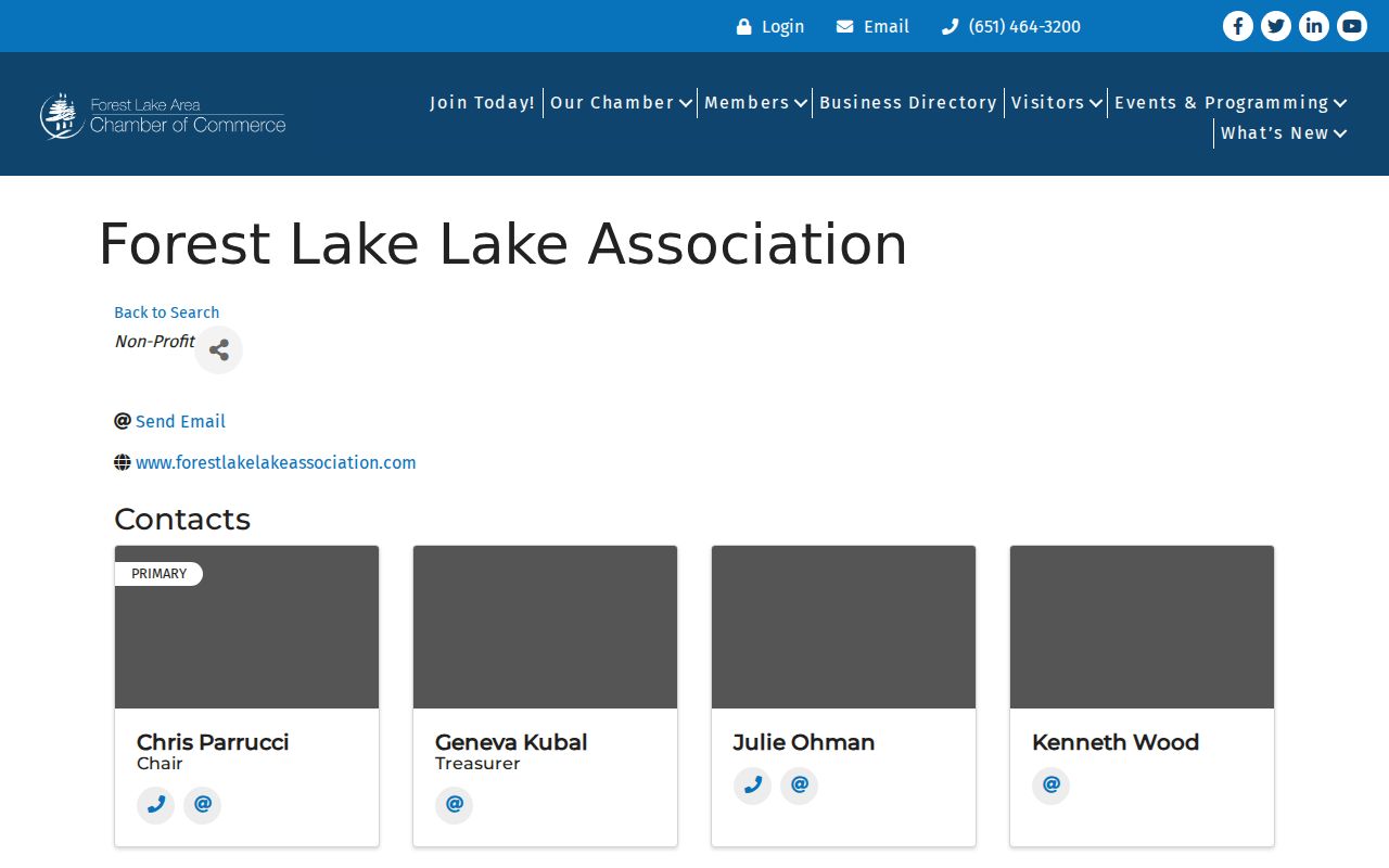
The Chamber listing is an organization contact point, not evidence about the people at nearby parcels.
Forest Lake Voter Data for Neighbors
Minnesota's public voter-list rules are much narrower than a parcel lookup. The state form revised in January 2026 limits list access to registered Minnesota voters and to statutory election, political, or law-enforcement uses under Minnesota Statutes section 201.091. A street-sorted walking list exists as a listed format, but the request requires certification and must not be republished on the internet in searchable form.
MNVotes is different again. It requires a first name, last name, birthday, and address for individual registration confirmation, and its data are updated nightly. It is appropriate for a voter checking their own status or a lawful election workflow. It is not a source for filling in a block map. Protected fields include full date of birth and other identification numbers, while Safe at Home participants have address protections that must not be defeated through cross-referencing.
Privacy Limits for Forest Lake Neighbors
Renters, household members, utility customers, delivery recipients, and protected residents do not form a public parcel trail. A property owner is not the complete household. Minnesota Safe at Home gives qualified participants a designated address and Lot number while protecting the real address except through the program's legal processes. Court, vital, and voter restrictions are also privacy signals, not gaps to work around.
Official sources identify a custodian, date, and record type. Commercial neighbor-lookup categories may combine public and broker data, yet can carry stale addresses, same-name errors, unclear sources, cost, and targeting risk. The contrast is not a contest between lists: a bounded county map or radius request has a stated source and purpose, while a compiled commercial result may not show how it reached a claim.
Lawful use. Use Forest Lake block records for civic curiosity, property context, and safe community contact. Do not use public information to watch, track, harass, intimidate, or expose anyone.